Procore + DroneDeploy: What It Means for Construction Drone Data
Why Platform Independence May Matter More Than Ever
My Perspective
When I first saw the news that Procore was acquiring DroneDeploy, my initial reaction wasn’t concern. It was validation.
For years, those of us working in construction drone technology have been making the case that aerial imagery, reality capture, mapping, and site data belong inside the broader construction technology workflow. A transaction of this magnitude sends a pretty strong signal that the industry agrees.
But it also caused me to think about something we’ve been discussing extensively at Aerial Decisions: Who should ultimately control the construction intelligence created from that data?
Our answer is simple.
The client.
We don’t believe our job is to capture data for a particular software platform. Our job is to capture what’s actually happening on the project, turn that information into useful construction intelligence, and deliver it wherever (and however) our client needs it.
Your data. Your intelligence. Your choice of platform.
A Major Moment for Construction Reality Capture
The proposed acquisition of DroneDeploy by Procore represents something much larger than one construction technology company acquiring another.
It signals that reality capture is moving closer to the center of construction project management.
DroneDeploy has already expanded far beyond aerial drone mapping into ground capture, 360-degree imagery, robotics, AI-powered progress analysis, and other reality-capture technologies. Its recent product releases have emphasized schedule matching, automated progress analysis, field inspections, and two-way integrations with construction platforms.
At the same time, Procore has been building toward a common data environment in which project information, BIM, documents, quality data, assets, and AI increasingly operate together.
Bringing reality capture deeper into that ecosystem makes strategic sense.
And I think it’s good for our industry.
The Bigger Story Isn’t Drones
For General Contractors and Owners, the important part of this development isn’t who owns which drone software.
It’s what happens to construction data after it’s captured.
A drone might collect hundreds or thousands of images during a mapping mission.
Those images can become:
- Orthomosaic maps
- Point clouds
- 3D models
- Digital surface models
- Progress comparisons
- Volume calculations
- Inspection documentation
- Executive reports
Increasingly, AI can help analyze that information as well.
That’s why I believe we’re entering a new phase of construction drone adoption.
The conversation is moving from data capture to construction intelligence.
From Reality Capture to Construction Intelligence
There’s an important distinction here.
Reality capture tells us what exists.
Construction intelligence helps us decide what to do about it.
That’s where I believe companies like Aerial Decisions have an important role to play.
A professional construction drone program isn’t simply:
Fly → Upload → Done
It should look more like:
Capture → Process → Validate → Analyze → Integrate → Decide
The software platform is one component of that workflow.
It shouldn’t necessarily define the entire workflow.
The Opportunity for Platform-Independent Drone Intelligence
Procore’s acquisition strategy reinforces the value of an integrated ecosystem.
But not every contractor, Owner, engineer, or public agency operates inside the same ecosystem.
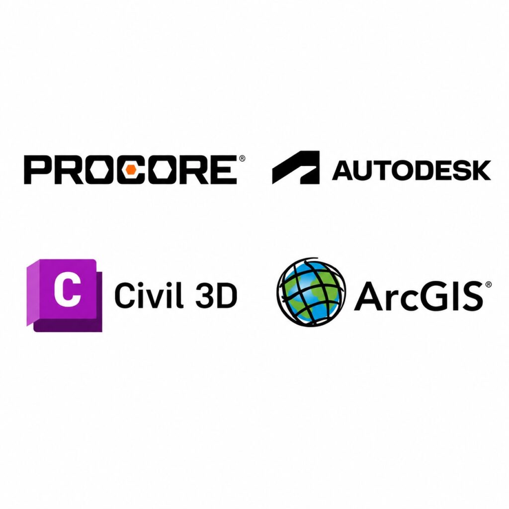
One project may rely heavily on Procore.
Another may use Autodesk Construction Cloud.
A civil engineering team may work primarily in Civil 3D.
A municipality may depend on ArcGIS.
Another stakeholder may live in Bluebeam.
And sometimes several of those environments exist on the same project.
That’s why our philosophy at Aerial Decisions is deliberately different:
We don’t capture data for a platform. We create construction intelligence for the client.
The client’s needs determine how the information is captured, processed, packaged, and delivered.
Platform Ecosystem vs. Platform-Independent Intelligence
| Platform-Centered Workflow | Platform-Independent Workflow |
|---|---|
| Data optimized around an ecosystem | Data optimized around client requirements |
| Platform becomes primary destination | Client determines destination |
| Strong native integration | Flexibility across multiple systems |
| Excellent for standardized users | Excellent for mixed technology environments |
| Software drives portions of workflow | Project requirements drive workflow |
Neither approach is inherently wrong.
For organizations deeply standardized on Procore, tighter integration with DroneDeploy could create significant efficiencies.
For organizations operating across multiple platforms, however, maintaining flexibility can be equally important.
Your Data Should Travel With You
This is the issue I believe construction executives should be thinking about.
Your historical project data shouldn’t lose its usefulness because your technology stack changes.
That’s why we believe clients should receive useful, portable deliverables wherever practical, including common formats used throughout construction, engineering, GIS, and reality-capture workflows.
That can include:
GeoTIFF • JPG • LAS/LAZ • OBJ • PDF • MP4 • DSM/DTM raster data and other project-appropriate formats
This also happens to lead perfectly into our next Construction Drone Intelligence article:
Construction Drone Data Files Explained: How Drone Deliverables Integrate with Construction & Engineering Software. (Coming Soon!)
What This Acquisition Could Mean for General Contractors
I see several positive developments coming from this industry shift.
First, reality capture will likely receive considerably more attention at the executive level.
Second, construction teams may begin expecting drone and reality-capture information to integrate directly into their project-management environments rather than living in isolated folders.
Third—and perhaps most importantly—teams will start asking harder questions about what they actually want from their data.
Not simply:
“Can we fly a drone?”
But:
“What information should we capture?”
“How often should we capture it?”
“How accurate does it need to be?”
“Who needs access to it?”
“Which systems need to consume it?”
Those are much more valuable questions.
Where Aerial Decisions Fits
This evolution actually sharpens our role.
We want to sit between what is happening in the physical world and the software environments construction teams use to manage it.
Our job is to provide:
Professional Capture — Consistent aerial data acquisition using properly equipped pilots and aircraft.
Processing & Validation — Turning raw imagery into usable mapping and reality-capture deliverables.
Construction Intelligence — Organizing information around the questions Owners and GCs actually need answered.
Integration — Delivering information into the systems clients already use.
Independence — Giving clients flexibility rather than requiring their project intelligence to live exclusively inside one ecosystem.
That last point is becoming increasingly important to us.
A Simple Principle
The construction industry doesn’t need another data silo.
It needs better information moving between the systems people already use.
Our philosophy is:
Capture what’s true. Make it usable. Put it where the client needs it.
That’s construction intelligence.
What Construction Leaders Should Ask Next
As reality capture becomes more deeply embedded into construction software, I believe Owners and General Contractors should ask four basic questions:
- Who controls our original project data?
- Can we export it in useful industry-standard formats?
- Can the information move into other construction and engineering systems?
- If we change platforms later, does our historical project intelligence move with us?
Those aren’t drone questions.
They’re data strategy questions.
And they’re going to become increasingly important.
Data Accuracy & Professional Use
As always, it’s important to distinguish construction drone intelligence from licensed professional surveying.
Drone-generated mapping and reality-capture deliverables can provide accurate, repeatable information for progress monitoring, documentation, general measurements, visualization, and project decision support.
They are not intended to replace licensed land surveying, legal boundary determination, or engineering-grade deliverables where professional licensure or certification is required.
We believe the strongest construction technology ecosystems allow drone professionals, surveyors, engineers, contractors, and software platforms to do what each does best.
Frequently Asked Questions
What does the Procore–DroneDeploy deal mean for construction drones?
It further validates reality capture as an important component of modern construction technology and may accelerate integration between captured site conditions and project-management workflows.
Will DroneDeploy only work with Procore?
The future product strategy will develop over time. Construction companies should evaluate capabilities, interoperability, export options, and data requirements as the combined offering evolves.
Why does platform-independent drone data matter?
Construction projects often involve multiple stakeholders using different software. Portable data allows information to move between project-management, CAD, BIM, GIS, and reporting environments.
Does Aerial Decisions require clients to use one construction platform?
No. Our approach is software-agnostic. We structure deliverables around the client’s project requirements and technology environment.
Who should own construction drone data?
Our philosophy is that the client’s project information should remain available to the client and usable across the systems necessary to manage its projects.
Executive Takeaway
I see the Procore–DroneDeploy development as a positive sign for our industry. Watch our latest YouTube video on this topic.
It validates something we’ve believed for a long time:
Reality capture is becoming construction infrastructure.
But the more valuable construction data becomes, the more important it becomes to think about who controls it and where it can be used.
At Aerial Decisions, we’re building around a simple principle:
YOUR DATA. YOUR INTELLIGENCE. YOUR CHOICE OF PLATFORM.
We don’t capture data for a platform.
We create construction intelligence for the client.
Continue Reading – The Construction Drone Intelligence Series
- Part 1 – Drone Mapping in Commercial Construction
- Part 2 – Photogrammetry in Commercial Construction
- Part 3 – Drone Mapping Cost vs. Traditional Surveying
- Part 4 – Drone Construction Progress Tracking
- Part 5 – The ROI of Drones Isn’t the Flight—It’s the Decision
- Part 6 – Orthomosaic Mapping in Construction
- Part 7 – Construction Drone Deliverables Explained
Disclaimer
Drone mapping and data services provided by Aerial Decisions are intended for visual documentation, progress tracking, and general measurement purposes only. These services do not replace licensed land surveying, boundary determination, or engineering-grade deliverables.
From The Editor:
Do you need to hire a professional drone service provider for your project? To speak to an aerial data specialist, fill out a form, email us or for even faster response times, give us a call at (833) FLY-4YOU or (833) 359-4968. Check out our transparent pricing and watch this space as we expand on the above topics and more over the coming weeks and months.
If you like this post, feel free to click the share button at the bottom of the page. We appreciate you helping us by spreading the content we share on our blog.

Showcase Your Company on the Drones and Construction Podcast! If you’d like to be a featured guest on our podcast, send us an email: info@aerialdecisions.com and one of our crew will get right back to you to share the details.
About Aerial Decisions
YOUR DATA. YOUR INTELLIGENCE. YOUR CHOICE OF PLATFORM.
Aerial Decisions is a Construction Intelligence company transforming jobsite reality into actionable data that helps contractors, owners, engineers, and municipalities make better-informed decisions.
We combine professional aerial and reality capture with advanced data processing, visualization, analytics, and AI-optimized technology to create a clear, measurable view of what is happening across a project.
Our platform-agnostic approach means your data isn’t locked into a single software ecosystem. We capture, process, visualize, analyze, and integrate construction intelligence into the tools and workflows your teams already use.
Supported by a network of FAA-certified, insured professionals and purpose-built technology, Aerial Decisions provides the visibility and intelligence project teams need—from pre-construction through completion.
Capture → Process → Visualize → Analyze → Integrate