Disclaimer: This blog post is based on insights from The Hub International 2025 Construction Outlook. While we have repurposed key takeaways and provided our own analysis, all original data and projections are credited to Hub International. For the full report, you can download a free copy here: Hub International 2025 Construction Outlook. Hey there, fellow builders and innovators! As a commercial drone service provider specializing in ...
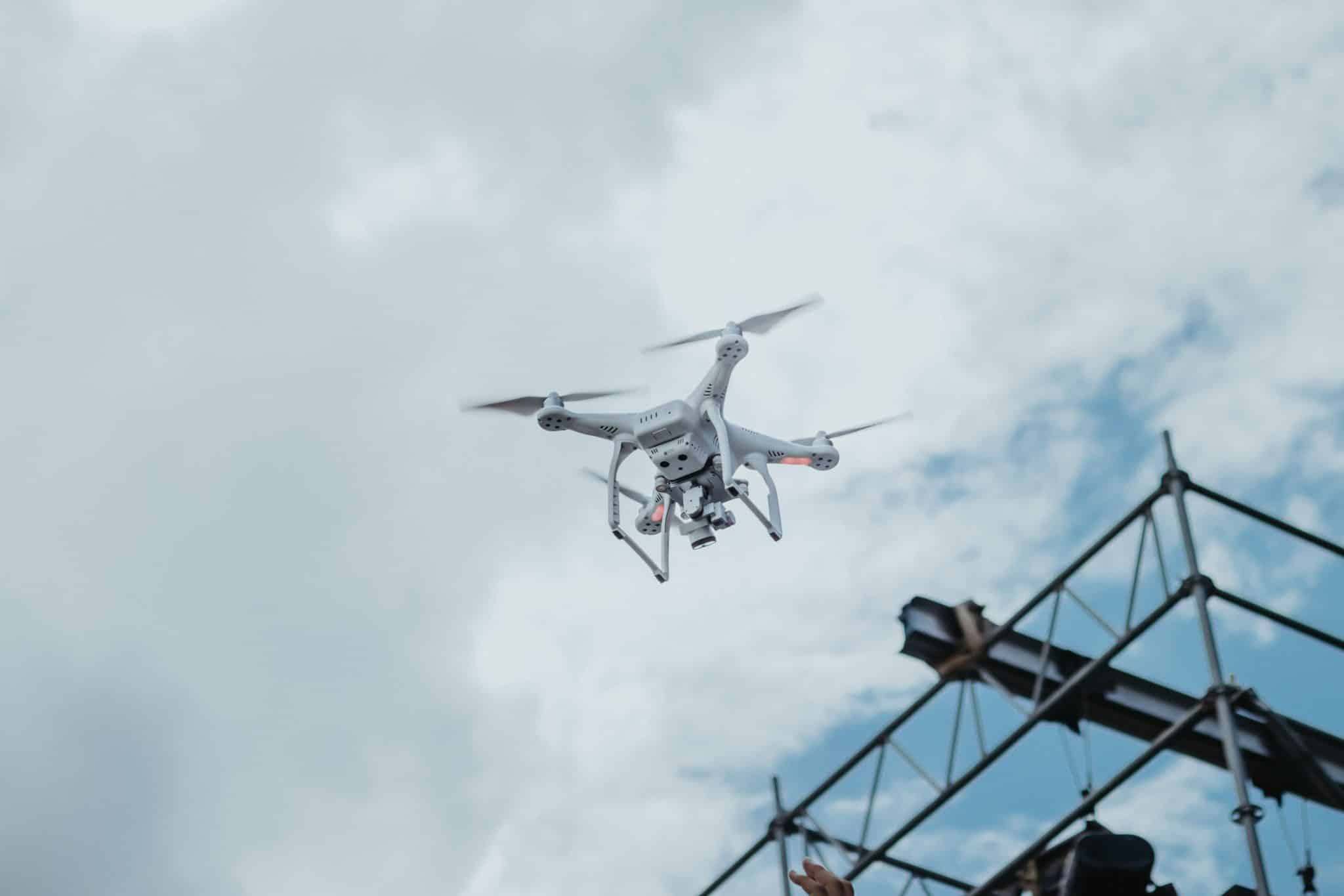
For many people, drones are often seen as toys for hobbyists or even as threats to privacy and safety. Recent news about unidentified drones buzzing across the East Coast has sparked fears about espionage and airspace violations. These incidents make headlines, but they overshadow a much bigger story: the transformative potential of drones as tools for innovation, commerce, and safety ...
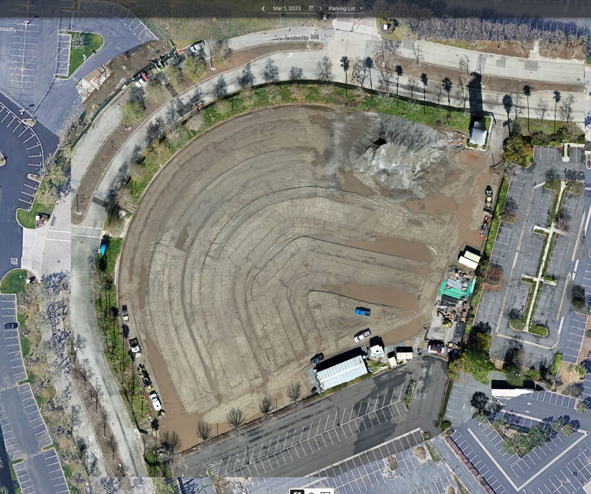
Having spent years in the commercial construction industry, I’ve seen firsthand how the integration of drone technology and advanced post-processing software has revolutionized site management. Accurate stockpile measurements are essential for staying on schedule and within budget, but the real game-changer isn’t just the drones collecting data—it’s the sophisticated software that processes it into precise, actionable insights. Traditionally, managing materials ...
As a drone pilot, I’ve always been fascinated by the incredible perspective a drone provides. It’s like having a bird’s eye view with the ability to freeze time and dissect every detail below. But beyond the stunning visuals, drones are powerful tools for creating maps that are more than just pretty pictures—they’re accurate, data-driven representations of the world. Let me ...
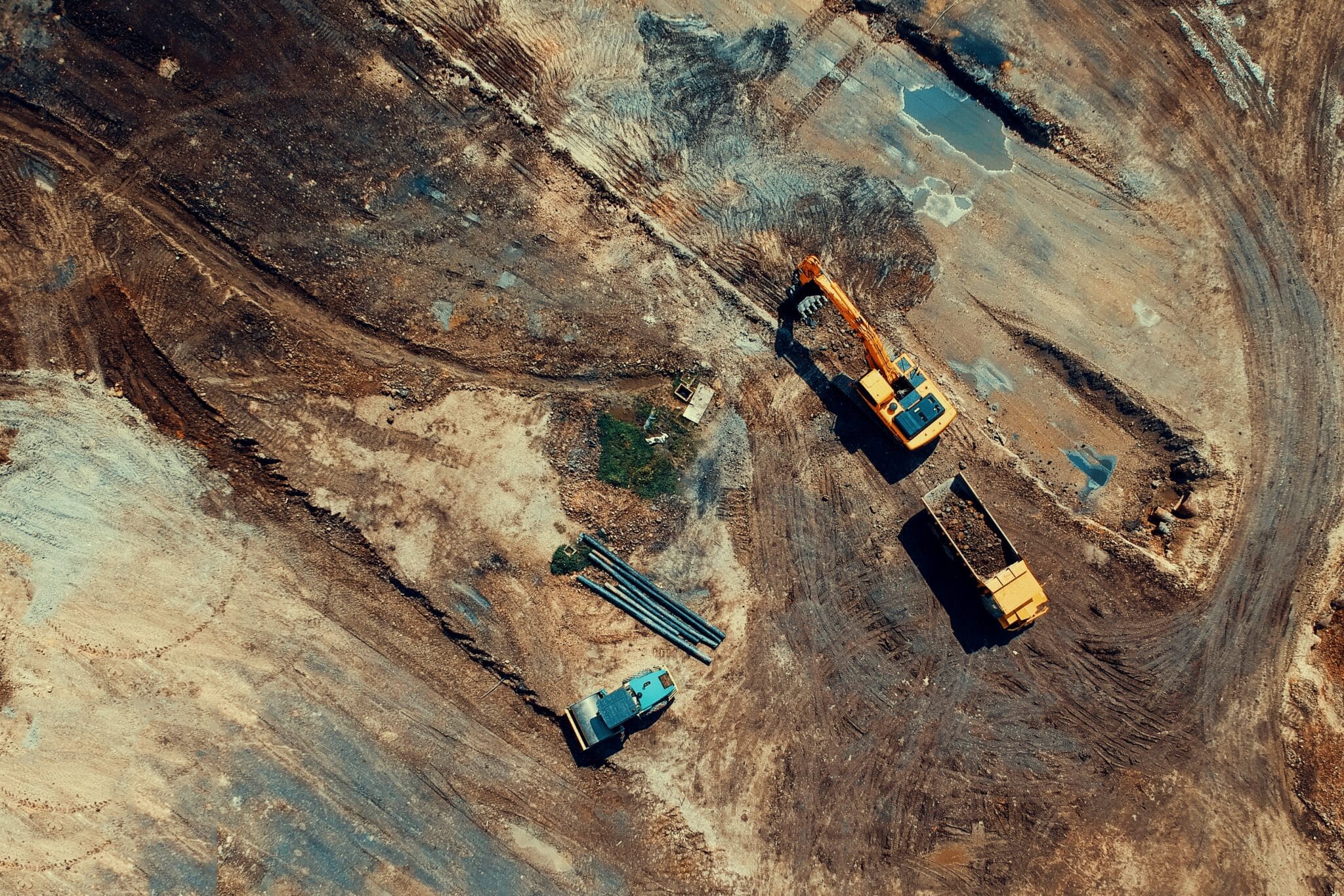
As a construction engineer or general contractor, you know one thing is certain: precision is everything. Whether you’re balancing cut-and-fill volumes, analyzing substructure conditions, or mapping utility layouts, a single mistake can snowball into delays, cost overruns, or worse—a full-on rework. That’s where drones and construction are stepping in to completely change the game. I’ve seen firsthand how drones are ...
Drones and Construction: What’s Best for Your Construction Business? The construction industry is complex, with tight schedules, high costs, and significant safety risks. To thrive in this environment, companies need tools that streamline workflows, enhance safety, and improve decision-making. Enter drones. These high-tech tools are no longer futuristic gadgets—they’re becoming a must-have for construction companies looking to stay competitive. Here’s ...
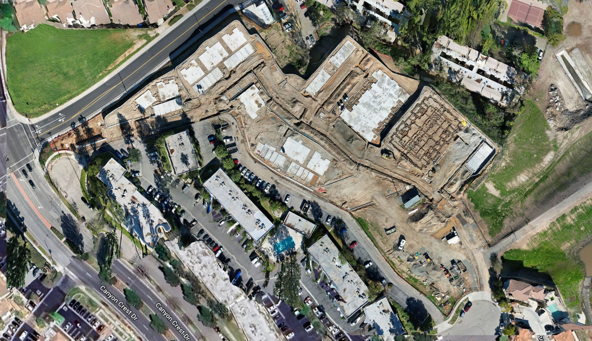
As a Drone Service Provider (DSP) focused on the construction industry, we’ve witnessed how drone reality data capture technology is transforming how we approach our clients critical construction projects. From pre-bid site analysis to final closeout inspections, reality capture technologies are collectively streamlining project workflows, enhancing safety, and providing deeper insights throughout each phase of construction. It still surprises me ...
Hey there! I’m always excited to share with you how drones are making waves in the construction industry, especially when it comes to Building Information Modeling (BIM). As a Drone Service Provider (DSP), We’ve seen firsthand the incredible impact these flying marvels have on project planning, design, and management. Let’s dive into how drones are currently being used to integrate ...
I love introducing prospective clients to the benefits of advanced drone software for commercial construction and seeing their excitement as they realize its potential for their projects. There’s a spark in their eyes when they understand how helpful drones can be, and you can see their minds racing with all the potential benefits. Drone software for construction progress monitoring is ...
As a Drone Service Provider (DSP) for the commercial real estate sector, we leverage advanced drone technology to offer precise and efficient facade inspections for commercial high-rise buildings. Our drones are equipped with high-resolution cameras and various sensors to capture detailed imagery and data of the building’s exterior. We then utilize software visualization tools to aid in translating drone imagery ...