As long as I’ve been in the drone tech industry, the most common discussion of where the biggest growth sector in drone applications has been in the construction space. Most consider top of mind commercial, industrial and even residential construction. But if you dig a little deeper, you’ll see that an often overlooked sector of the construction industry lies at the heart of the most significant growth area in the near term; construction and infrastructure projects.
Why is that?
The recent Infrastructure Investment and Jobs Act, signed into law in November 2021, includes $1.2 trillion in funding for critical infrastructure projects over the next decade.
This funding is expected to accelerate the adoption of drone technology in state government infrastructure programs. According to a recent report by Drone Industry Insights, the global infrastructure inspection market is projected to grow at a CAGR of 21.5% from 2020 to 2027. In recent years, drone technology has seen rapid development and widespread adoption in many industries.
State government infrastructure programs are at the top of that list. Drones offer unique capabilities that can help with planning, design, and maintenance of critical infrastructure projects.
In this blog post, I will share 4 key reasons for using drone technology to aid state government infrastructure programs and how the recent Infrastructure Investment and Jobs Act and federal funding is impacting the progress of critical infrastructure programs.

drone monitoring for road infrastructure projects
Surveying and Mapping
Drones can quickly and accurately survey and map large areas of land, including difficult-to-reach areas such as mountainous terrain, forests, and wetlands. This technology can be used to gather data for various infrastructure projects, such as highways, bridges, and pipelines. According to a recent study by ResearchAndMarkets, the global drone surveying market is projected to grow at a CAGR of 35.2% from 2021 to 2026.

drone monitoring for infrastructure projects
Construction Monitoring
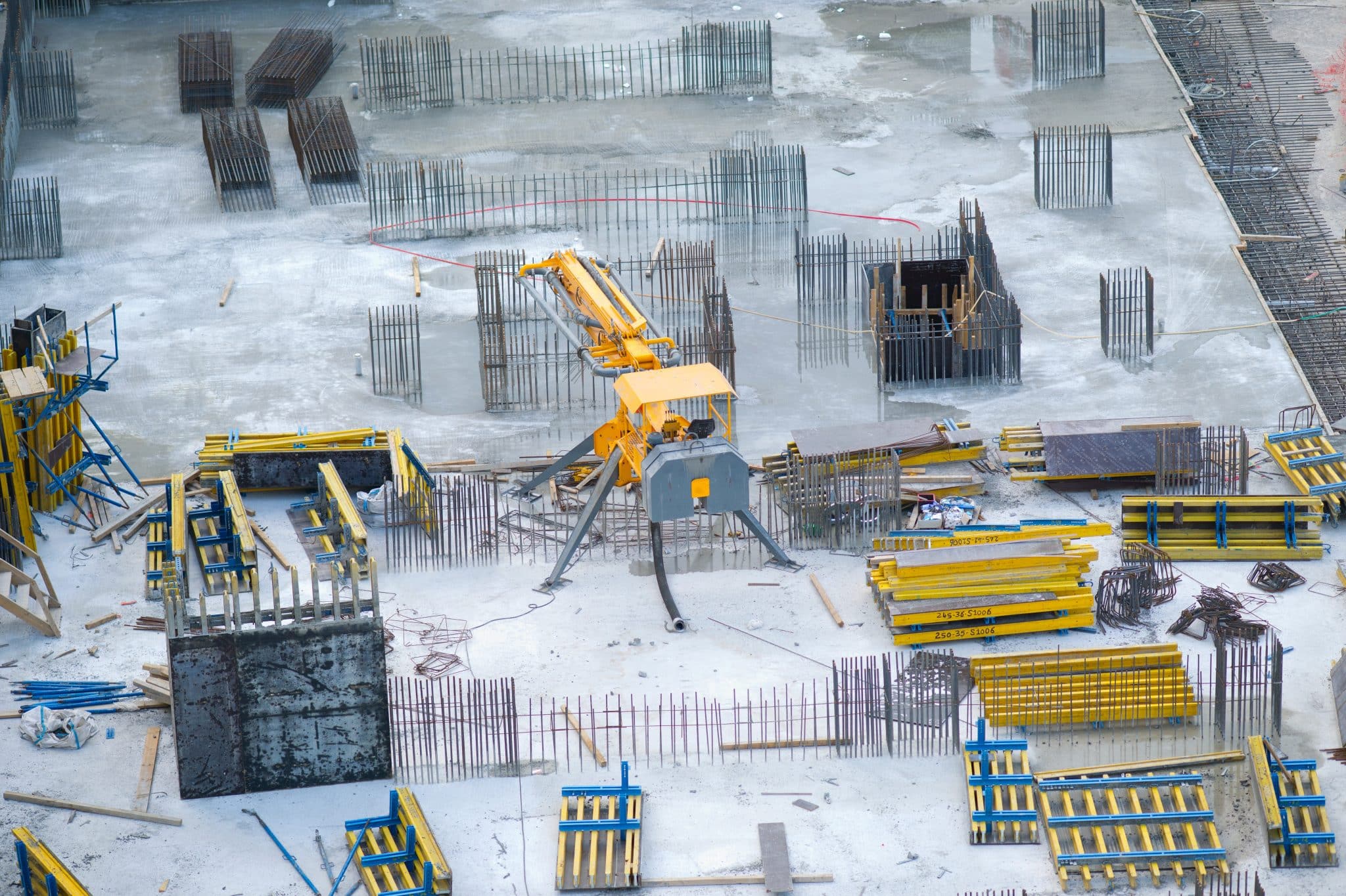
Drones can be used to monitor construction sites, track progress, and detect potential safety hazards. This technology can help improve construction efficiency, reduce costs, and increase safety. According to a recent report by DroneDeploy, drone use in construction increased by 239% in 2020 compared to the previous year.

Bridge infrastructure construction inspections with drones
Inspections
Drones can perform inspections of critical infrastructure, such as bridges, dams, and power lines, without the need for costly and dangerous manual inspections. This technology can help identify potential safety issues before they become critical and prevent downtime due to unexpected failures. According to a recent report by Markets and Markets, the global drone inspection market is projected to grow at a CAGR of 23.6% from 2021 to 2026.
Environmental Monitoring
Drones can be used to monitor environmental conditions, such as water quality and air pollution, in remote areas. This technology can help government agencies identify and mitigate environmental risks, such as oil spills and chemical leaks. According to a recent report by MarketsandMarkets, the global drone environmental monitoring market is projected to grow at a CAGR of 11.4% from 2021 to 2026.
In conclusion, drone technology has significant potential to aid state government infrastructure programs. From surveying and mapping to construction progress monitoring, drones can help government agencies improve efficiency, reduce costs, increase safety, and mitigate environmental risks. As I mentioned above, the recent Infrastructure Investment and Jobs Act and federal funding are expected to drive growth in this market sector, which is projected to grow at a significant rate over the next decade.
From The Editor:
Do you need to hire a professional drone service provider? To speak to an aerial data specialist, fill out a form, email us or for even faster response times, give us a call at (833) FLY-4YOU or (833) 359-4968. Check out our transparent pricing at Drone Photography Pricing and watch this space as we expand on the above topics and more over the coming weeks and months. If you like this post, feel free to click the share button at the bottom of the page. We appreciate you helping us by spreading the content we share on our blog.
- How Drones and Reality Data Capture are Transforming Construction Projects - October 11, 2024
- Regulations for Using Drones on Construction Sites in 2024 - August 25, 2024
- What is the Future of Drones in Construction? - August 17, 2024
