by Jim Gibson
As the CEO of a drone data collection company, my goal is to look for ways to leverage emerging technologies that help commercial construction companies complete their projects on time and on budget. To achieve this, we rely on several technologies that enable us to collect, analyze, and share data with our clients efficiently. In this blog post, I will discuss the top five technologies that we use to accomplish our goals.
Top 5 Technologies for Construction Project Managers
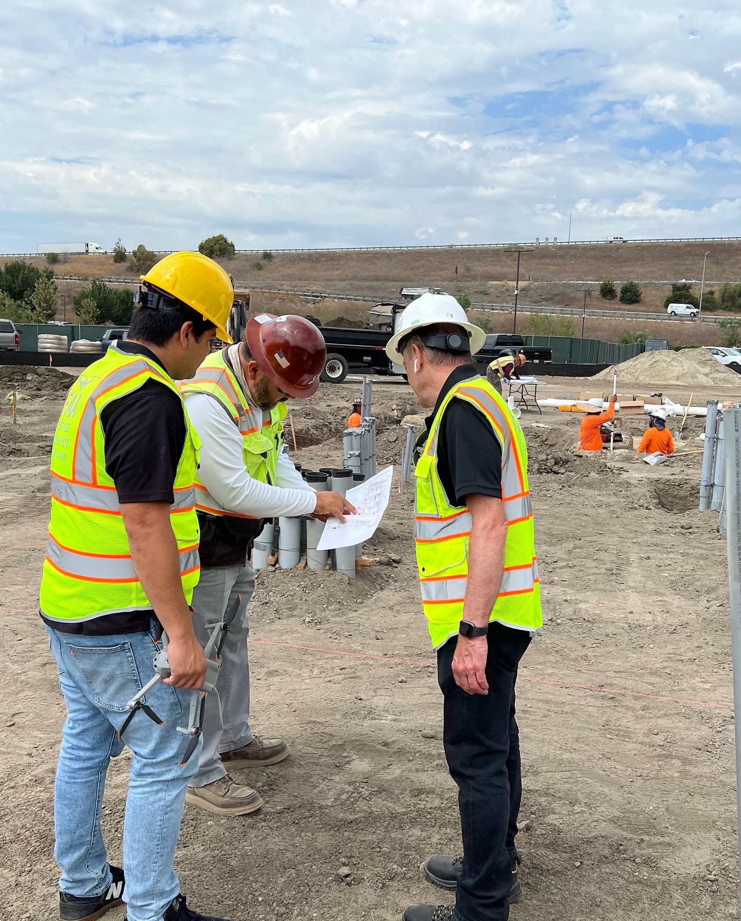
Drones
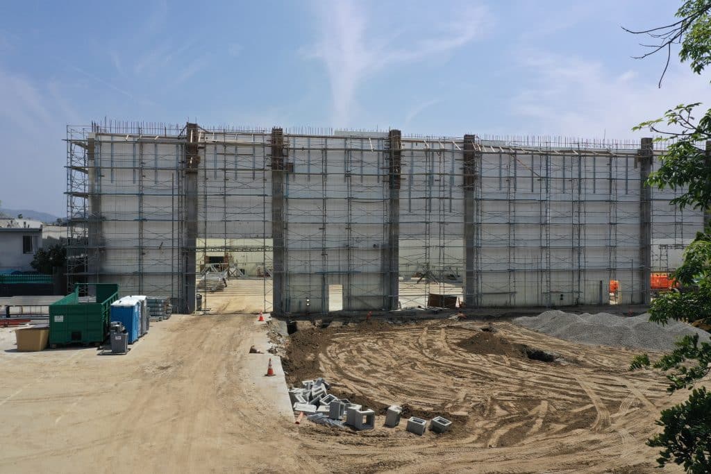
You guessed it, Drones. Otherwise known as sUAS, Small Unmanned Aircraft Systems are the primary technology that we use to collect data for construction projects. Drones allow us to capture high-resolution aerial imagery and 3D models of job sites quickly and safely. This technology helps us to identify potential issues and track progress throughout the construction process, allowing us to make adjustments in real-time. Drones can also cover a large area in a short amount of time, providing construction managers with a quick and efficient way to monitor progress. This saves time and allows construction managers to focus on other important tasks.
Drone Data Software
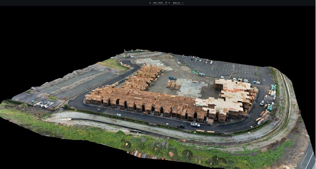
There are several drone data software options available, including Drone Deploy, Pix4D, Propeller, and Agisoft Metashape. Each of these software options has its own unique features, advantages, and disadvantages. For example, Drone Deploy offers a user-friendly interface and integrates with several other software options. Pix4D provides a more advanced photogrammetry solution and is best suited for large-scale projects. Propeller offers a cloud-based platform that allows for easy collaboration and sharing of data. Agisoft Metashape is a powerful solution that offers high-precision data processing and is best suited for complex projects. Regardless of the software option, drone data software enables us to process and analyze the data collected by our drones quickly and accurately, making it easier to identify potential issues and track progress.
Geographic Information System (GIS)
GIS technology allows us to overlay drone data on top of maps, creating a visual representation of the construction site. This technology enables us to identify potential issues and track progress in real-time. GIS also allows us to share data with our clients more efficiently, enabling them to make informed decisions about their projects.
Machine Learning
Machine learning technology allows us to analyze large amounts of data quickly and accurately. This technology enables us to identify patterns and trends in the data, making it easier to identify potential issues and track progress. Machine learning also enables us to make more accurate predictions about project timelines and budgets, ensuring that our clients’ projects are completed on time and on budget.
Augmented Reality (AR)
AR technology enables us to create immersive, 3D simulations of construction projects. This technology allows us to visualize the project before it is built, making it easier to identify potential issues and make changes. AR also enables us to communicate more effectively with our clients, ensuring that everyone is on the same page throughout the project.
In conclusion, I believe that technology plays a crucial role in helping commercial construction companies complete their projects on time and on budget. By utilizing drones, drone data software, GIS, machine learning, and AR, drone service providers like Aerial Decisions can help improve on construction project efficiencies, reduce waste, and deliver construction project data that meet our clients’ needs. I am excited to continue to explore new technologies as they emerge and to use them to help our clients succeed in the future. As construction project managers, what technologies do you use to help you get your projects completed on time and on budget?
From The Editor:
Do you need to hire a professional drone service provider? To speak to an aerial data specialist, fill out a form, email us or for even faster response times, give us a call at (833) FLY-4YOU or (833) 359-4968. Check out our transparent pricing at Drone Photography Pricing and watch this space as we expand on the above topics and more over the coming weeks and months. If you like this post, feel free to click the share button at the bottom of the page. We appreciate you helping us by spreading the content we share on our blog.

Founder | CEO at Aerial Decisions
Jim is the founder of Aerial Decisions and is an FAA Part 107 Certified Commercial Drone Pilot.He has spent the last 10 years building and leading world class sales teams for an industry leading digital marketing agency.Jim is widely recognized amongst his peers as a consummate full funnel digital marketing expert and a respected industry leader.
Equally adept as an entrepreneur, Jim has led start up organizations in a multitude of industries ranging from telecommunications to web based software services.In this latest adventure, Jim is leveraging his profound love of flying drones into a dynamic new start-up that he hopes one day becomes the standard bearer for drone flying advocacy across the globe.
Jim originally hails from Clearwater, Florida and currently lives in Glendale, California with his wife Diana and his lovable pup, Gunnar.
When Jim’s not flying drones: “You’ll catch me on the ice (or asphalt) playing beer league hockey or training for my next triathlon.Whether it’s on ice asphalt or in the water you’ll always find me on the move and rarely sitting still.
Latest posts by Jim Gibson (see all)
- Drones and Construction – The 2025 Outlook - February 8, 2025
- The Future of Business: Top 7 Commercial Drone Applications Across Key Sectors - January 19, 2025
- From Over-Ordering to Supplier Accountability: How Drones Redefine Stockpile Management - January 12, 2025