by Jim Gibson
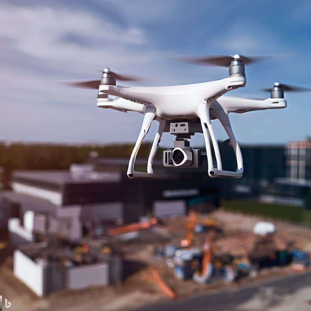
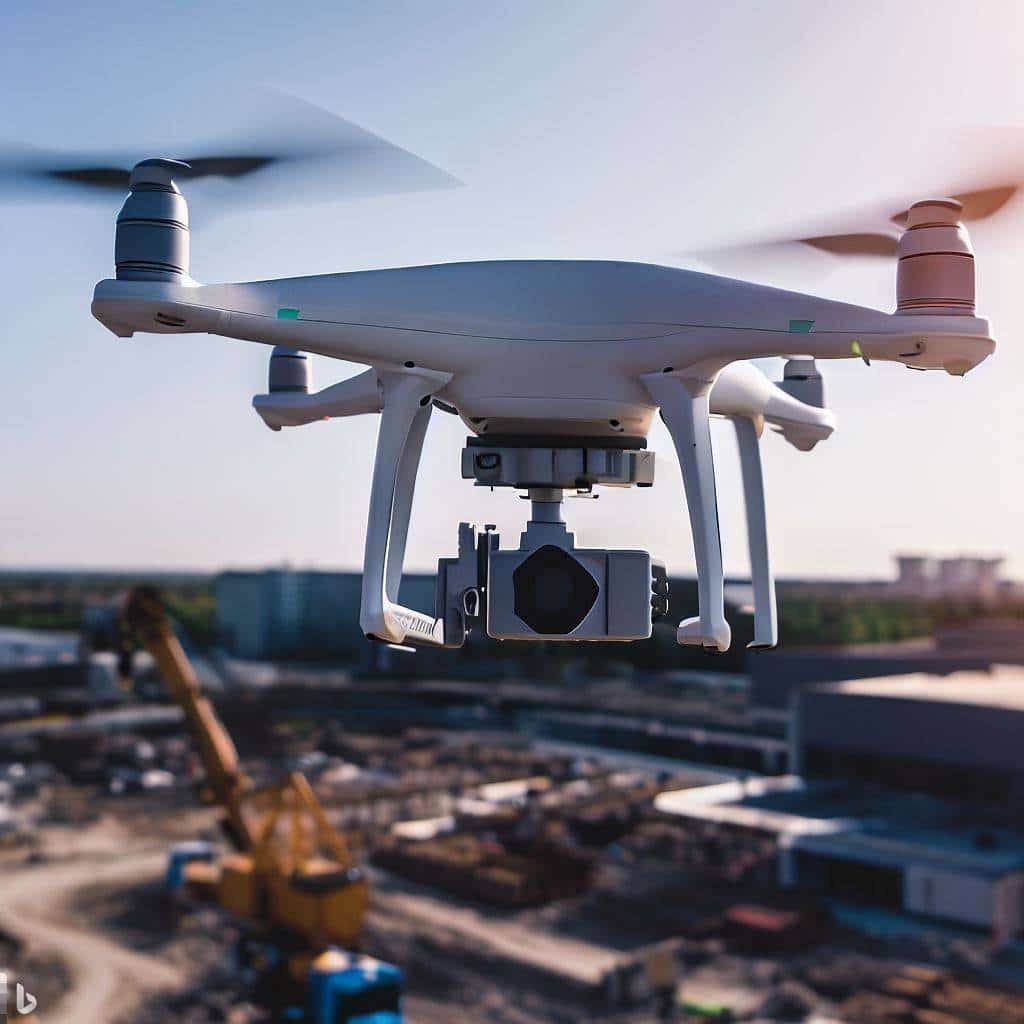
Drones are becoming increasingly popular in the construction industry, and for good reason. Drones offer a number of advantages over traditional surveying and mapping methods, including:
- Speed and efficiency: Drones can survey and map large areas quickly and easily, which can save time and money.
- Accuracy: Drones can collect high-resolution data that is highly accurate, even in difficult-to-access areas.
- Safety: Drones are used to survey and map dangerous or inaccessible areas without putting workers at risk.
- Cost-effectiveness: Drones can be a cost-effective way to survey and map construction sites, especially for large or complex projects.
What is Drone Surveying and Mapping?
Drone surveying and mapping is the process of using drones to collect data about a physical object or area. This data is then used to create maps, models, and other visualizations.
Drone surveying and mapping is used for a variety of purposes in the construction industry, including:
- Site planning and design
- Progress monitoring
- Quantity takeoff
- As-built documentation
- Safety inspections
- Damage assessment
- Environmental monitoring
How Construction Companies use Drones for Surveying and Mapping
Here are a few examples of how today’s commercial construction companies are using drones for surveying and mapping missions:
- Site planning and design: Drones are used to survey a construction site and create a 3D model of the area. These models used to plan the layout of the site, design the building, and estimate the cost of the project.
- Progress monitoring: Drones are used to track the progress of a construction project over time. This helps to ensure that the project is on schedule and within budget.
- Quantity takeoff: Drones are used to measure the volume of materials on a construction site. This information is used to create accurate estimates and ensure that the project is completed on time and within budget.
- As-built documentation: Drones are used to create a detailed record of a construction project as it is built. This documentation is used for future reference or to make changes to the project.
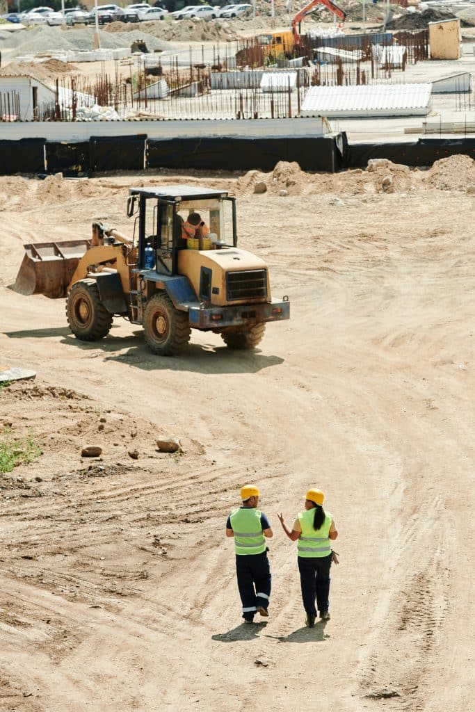
- Safety inspections: Drones are used to inspect construction sites for safety hazards. This helps to prevent accidents and injuries.
- Damage assessment: Drones are used to assess the damage to a construction site after an accident or natural disaster. This information is often used to make repairs and prevent further damage.
- Environmental monitoring: Drones are used to monitor the environmental impact of a construction project. This helps to ensure that the project is being conducted in an environmentally responsible manner.
The Future of Drones for Surveying and Mapping for the Commercial Construction Industry
The use of drones in surveying and mapping is rapidly expanding in the construction industry. As drone technology continues to develop, we can expect to see even more innovative and groundbreaking applications for drones in the years to come.
Some of the potential future applications of drones in surveying and mapping for commercial construction include:
- Real-time monitoring: Drones are used to monitor construction sites in real time, which helps to identify and address problems early on.
- Automated data collection: Drones can be programmed to collect data automatically, which can free up workers to focus on other tasks.
- 3D printing: Drones are often used to create 3D models of construction sites, which can then be used for 3D printing.
In conclusion, the integration of drones into surveying and mapping processes has ushered in a new era for commercial construction. Companies like Skanska, Wingtra, and Environmental Works have demonstrated the immense potential of drones in improving efficiency, accuracy, and safety across construction projects. As a drone service provider, I am excited about the limitless possibilities and advancements that lie ahead in this rapidly evolving field. The future of drones in surveying and mapping for commercial construction is bound to be even more remarkable, and Aerial Decisions is excited to continue delivering surveying and mapping services to the industry.
From The Editor
Do you need to hire a professional drone service provider for your project? To speak to an aerial data specialist, fill out a form, email us or for even faster response times, give us a call at (833) FLY-4YOU or (833) 359-4968. Check out our transparent pricing at https://aerialdecisions.com/drone-photography-pricing/ and watch this space as we expand on the above topics and more over the coming weeks and months.
If you like this post, feel free to click the share button at the bottom of the page. We appreciate you helping us by spreading the content we share on our blog.

Founder | CEO at Aerial Decisions
Jim is the founder of Aerial Decisions and is an FAA Part 107 Certified Commercial Drone Pilot.He has spent the last 10 years building and leading world class sales teams for an industry leading digital marketing agency.Jim is widely recognized amongst his peers as a consummate full funnel digital marketing expert and a respected industry leader.
Equally adept as an entrepreneur, Jim has led start up organizations in a multitude of industries ranging from telecommunications to web based software services.In this latest adventure, Jim is leveraging his profound love of flying drones into a dynamic new start-up that he hopes one day becomes the standard bearer for drone flying advocacy across the globe.
Jim originally hails from Clearwater, Florida and currently lives in Glendale, California with his wife Diana and his lovable pup, Gunnar.
When Jim’s not flying drones: “You’ll catch me on the ice (or asphalt) playing beer league hockey or training for my next triathlon.Whether it’s on ice asphalt or in the water you’ll always find me on the move and rarely sitting still.
Latest posts by Jim Gibson (see all)
- Top Drone Software Features for Efficient Construction Projects - June 30, 2024
- How Drones are Changing Building Facade Inspections - June 17, 2024
- Ensuring Success in Construction Progress Monitoring: Insights from a DSP - April 27, 2024